GPS Only
These trips have GPS waypoints (but not detailed directions). GPS waypoints are limited to paid subscribers. GPS coordinates are in Degrees unless otherwise stated. WGS84 Datum.
Be sure to scroll down to load all of the posts.
244 posts
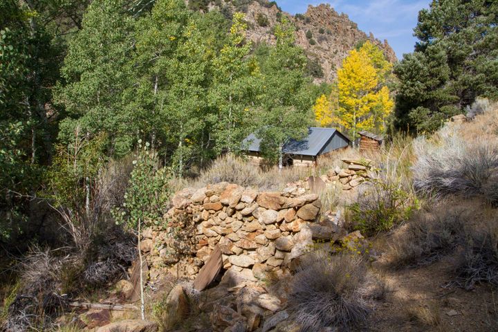
J and J Cabin
In early autumn 2015, we hiked cross-country over a mountain to a seldom visited mine and cabin along a stream in central Nevada. It is a quiet and peaceful spot among the aspen trees.
The mine is caved-in but once consisted of an open stope with an adit
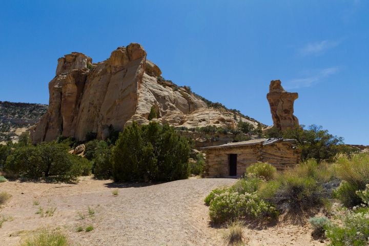
Swasey’s Cabin
Swasey’s cabin was built in 1921 by the locally well-known Swasey brothers as a line cabin. They would stay out here to watch over their cattle. Out behind the cabin, in one of the canyons, they had an icebox setup where they would store meats and any other
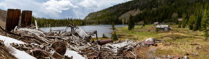
Lakeshore Mine
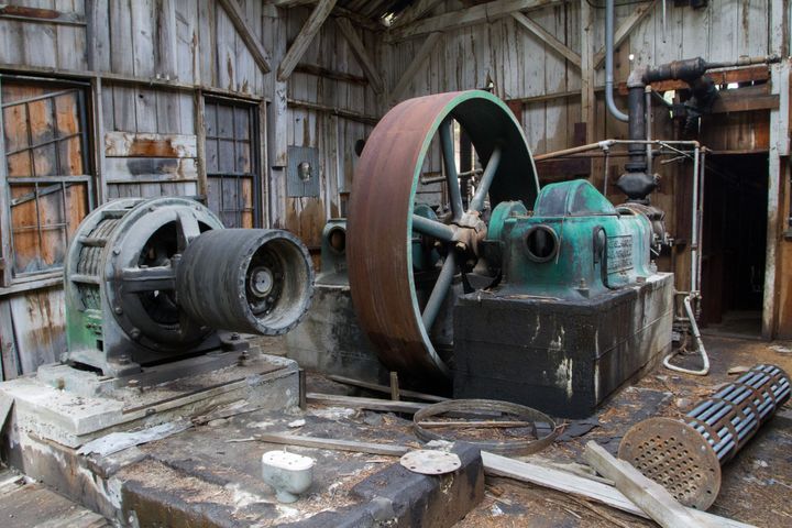
Some years ago, I hiked up an old forest road to a mining camp that sits along the shore of a small glacial lake. It was a pretty neat find; nearly a dozen cabins in various states of collapse remain. A fallen mill sits just below the mine.
The Lakeshore
Algonquin Mine
The Algonquin is an old mine. It was one of the earliest mines in Montana’s Philipsburg district. By 1877, it was being worked by a 10-stamp mill for silver with minor amounts of gold. The mill proved inefficient, and a new 20-stamp mill was soon installed. Reportedly,
Bannack Ghost Town
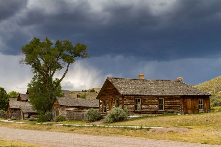
Over the summer of 2015, we visited the fantastic ghost town of Bannack, Montana, which has been well-preserved and turned into a state park. It is similar to Bodie State Historical Park but with fewer buildings. Still, ghost towns remaining from the gold rush days are rare, and this
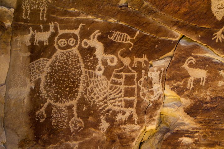
Jayhawker Spring Petroglyphs
In 1936, two young men from a Civilian Conservation Corps camp, Rockey Cochran and Farland Wells, followed a local Indian named Tom Wilson up a nameless side canyon in the Panamint Mountains. Wilson led them to a cluster of dark lava boulders near a seep on the canyon's