GPS Only
These trips have GPS waypoints (but not detailed directions). GPS waypoints are limited to paid subscribers. GPS coordinates are in Degrees unless otherwise stated. WGS84 Datum.
Be sure to scroll down to load all of the posts.
243 posts
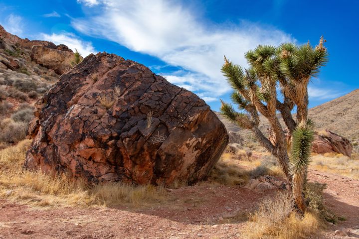
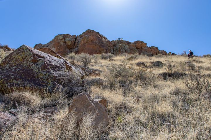
Cottontail Petroglyphs
Just a few miles south of fabulous Las Vegas, Nevada, the Cottontail Petroglyphs are two adjacent sites at either end of an Aztec sandstone bluff. The site consists primarily of abstract symbols with some representational symbols of bighorn sheep.
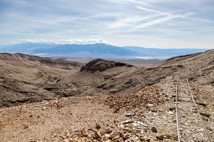
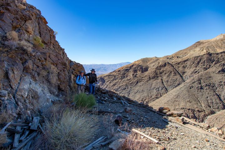
Lower Monarch Canyon Mine
Deadwood Mine Camp
The Deadwood Mine sat so far from civilization that during winter, the only way in was a two-day trip by dog sled. From early November through late June, snow buried the roads across three mountain passes. Dog teams under contract made the fifty-two-mile journey from Cascade three times a week,
Barnwell Petroglyphs
In March of 2023, fellow explorers JP, Darthjenni, and W9JIM invited me on a trip to the Mojave National Preserve. The Mojave Preserve (and the East Mojave in general) is such a great place to off-road, camp, and explore. The park is crisscrossed by graded and 4WD dirt roads that
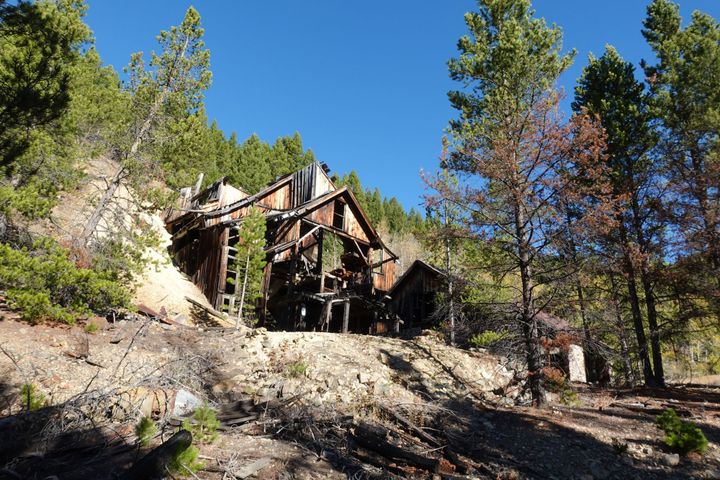
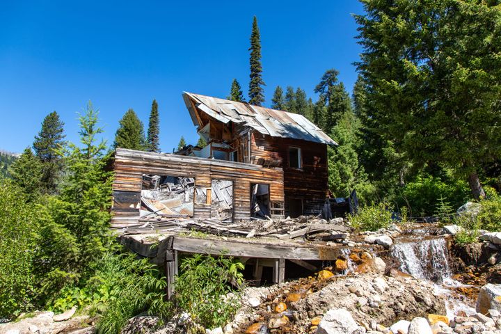
Big Dick Mine (Elliston)
The unfortunately named Big Dick Mine is on an unnamed stream draining into the Blackfoot River above Elliston, Montana. This district was generally known as the Elliston Mining District, and saw most of its activity from around 1900-1930. The largest nearby mines were the Monarch, Julia, Charter Oak, Lily, and
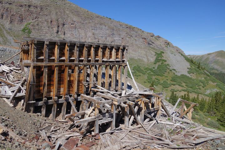
Mayflower Mine (Telluride)
The Mayflower Mine was an unsuccessful gold producer high above Telluride. Not much is published on its history, but the site has some interesting remnants. The operation started around 1890, and was largely abandoned by 1920. Something to note about this mine is that the original claim was actually called