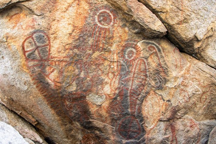
Cary's Castle North Petroglyphs
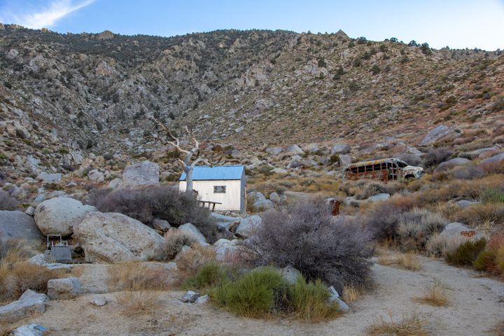
In 2016, on an adventure north of Cary's Castle (one of many), I stumbled upon these petroglyphs hidden among the granite boulders of the Eagle Mountains. The abstract designs appear to be Desert Archaic in style, likely created by indigenous peoples who traveled these washes for thousands of